Nature Highlights & Stora Alvaret
Öland's wildest side, the Stora Alvaret UNESCO World Heritage Site, the limestone sea stacks of Byrums Raukar, the Trollskogen forest and the Ottenby and Beijershamn bird reserves.
Contents
Öland's nature is unlike anything on the Swedish mainland, bare, wide open and full of oddities. At its heart is a treeless limestone steppe that carries an entire UNESCO World Heritage Site. Around it cluster limestone sea stacks on the west coast, a wind-sculpted forest at the northern tip and one of Sweden's best birdwatching areas at the southern end. This overview covers the island's most rewarding nature destinations, their distances, trails and the right time of year to visit.
The Stora Alvaret - Europe's largest alvar landscape
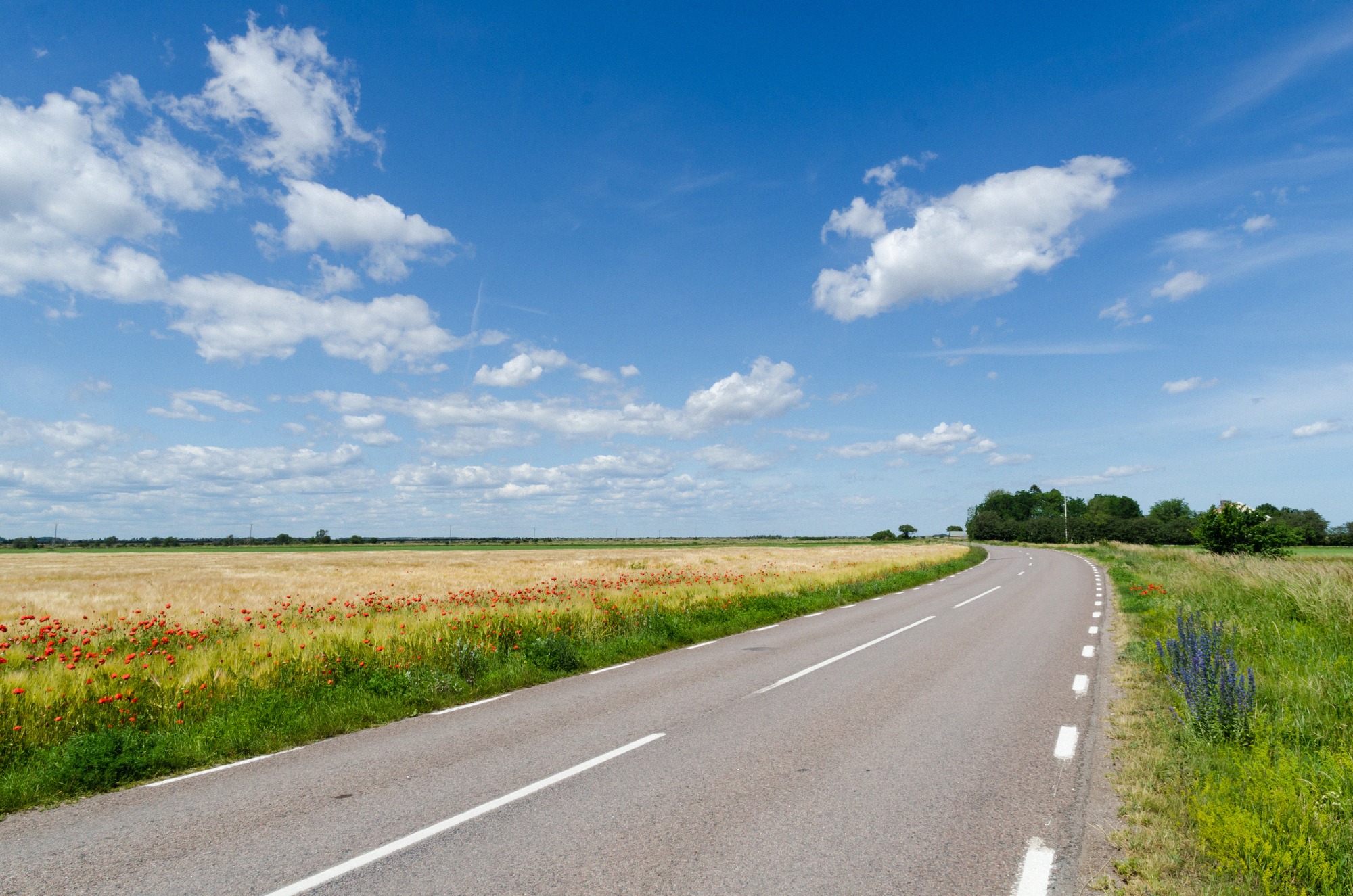
The Stora Alvaret in the southern half of the island is, at over 260 square kilometres, the largest continuous alvar landscape in Europe, covering more than a quarter of Öland's land area. On the map it forms a dagger-shaped area almost 40 kilometres long, up to around 10 kilometres wide at its broad northern end. "Alvar" means thin soil over bare limestone, a barren, almost steppe-like heath where hardly a tree grows.
The alvar lies within the UNESCO World Heritage Site "Agricultural Landscape of Southern Öland", covering 56,323 hectares in total and inscribed as a World Heritage Site in 2000. What's protected here isn't untouched wilderness but a cultural landscape shaped by grazing animals since prehistoric times, and large parts of it are still grazed year-round today. As a nature reserve, the alvar has free, open access; because of the grazing animals, it's best to leave dogs at home. More on the site itself is on the Stora Alvaret page.
Orchids and the best time to see them in bloom
The alvar's reputation among botanists rests on its orchids. Recorded species include the fly orchid (Ophrys insectifera), the early-purple orchid (Orchis mascula, the island's earliest-flowering species), the elder-flowered orchid (Dactylorhiza sambucina), the heath spotted-orchid and common spotted-orchid, and the fragrant orchid (Gymnadenia conopsea).
The flowering display peaks from late April or May through to June, the best window is May and early June, when the meadows are at their fullest. If you're travelling for the orchids, plan your visit for early summer. The sheer scale of the alvar is striking year-round, though, even outside the bloom.
A good starting point in the middle of the alvar is the Möckelmossen rest area in the Gynge-Mysinge reserve: there's a car park, an accessible toilet with a ramp, picnic tables and a barbecue area. About 800 metres north of the information point is a wheelchair-accessible viewing platform over the Möckelmossen wetland, one of the few low-barrier access points into this otherwise rough terrain.
Byrums Raukar and Trollskogen in the north
In the north, the coastal scenery centres on two very different destinations. On the west coast stand the Byrums Raukar, around 120 limestone sea stacks (raukar) up to four metres tall, strung along roughly 600 metres of shoreline. The tallest stacks stand at the southern end of the field, getting smaller further north. The site lies about 8 kilometres north-east of Löttorp; head towards Byrum, follow the "Raukar" sign at the turn-off, and the car park is a few hundred metres on. There are two car parks near the site, and access is free as a nature reserve. More at Byrums Raukar.
Right at the north-eastern tip lies the Trollskogen nature reserve, the "troll forest": 266 hectares in total, 115 hectares of it on land. It's known for its wind-sculpted pines and old, ivy-clad oaks, including Öland's oldest oak, estimated at 800 to 900 years old. Four marked trails open up the headland:
- Knysselnäckstigen - 1 km, easy, gravel surface.
- Kolkyrkestigen - 1.3 km, easy, mostly gravel.
- Murgrönestigen - 2.7 km, easy to moderate, gravel path.
- Trollskogstigen - 4.5 km, moderate to demanding, loops all the way round the headland and takes 1 to 2 hours.
Along the way lies the wreck of the schooner Swiks, which ran aground here in 1926. More at Trollskogen.
Ottenby and Beijershamn, birdwatching
The southern tip belongs to the birds. The Ottenby nature reserve is one of Sweden's best migration sites; the site includes Naturum Ottenby, the Långe Jan lighthouse, the Fågel Blå restaurant, an observation tower and low-barrier trails. The bird observatory was founded in 1946 by the Swedish Ornithological Society and rings birds every year from 15 March to 15 November.
The best time to visit is well defined: in May, Ottenby is Sweden's best single-day site for warblers and waders during the spring migration, with over 20,000 birds ringed in the peak week. Most birdwatchers come in the second half of May (spring) and the first half of October (autumn), when seabirds and waders in particular pass through the coast in their thousands. In 2026, Naturum is open from 2 April to 28 June with hourly admission from 11:00 to 16:00, from 29 June to 9 August daily from 10:30 to 17:00, and then through to 31 October again with admission from 11:00 to 16:00. The reserve itself is free to enter; only the lighthouse charges admission (50 SEK for adults, 30 SEK for children) and the guided tours (100 SEK for adults, 70 SEK for children aged 4 to 18), with proceeds supporting the bird observatory. More at Ottenby and in the birdwatching guide.
For a second birdwatching area, head to Beijershamn on the west coast. Designated in 2007, this 358-hectare reserve ranks alongside Ottenby as one of the island's best-known birdwatching sites, especially for waterfowl. It's also exceptionally rich in insects and bats: over 650 of Sweden's 950 butterfly and moth species and 12 of its 18 bat species have been recorded here.
Over 140 kilometres of hiking trails
Southern Öland is best explored on foot, on a dense network of paths: within the UNESCO World Heritage Site, over 140 kilometres of trails are marked and maintained by Mörbylånga municipality, the Kalmar County Administrative Board and volunteers. The Stora Alvaret alone is criss-crossed by around 14 "mil" (the Swedish unit), or roughly 140 kilometres, of paths.
The best known of these is the Mörbylångaleden, one of the Swedish Tourist Association's (STF) twelve signature trails. It runs from Färjestaden to Ottenby straight through southern Öland's World Heritage landscape and can be walked in one go or in stages. How to plan the route and which stretches are most worthwhile is covered in the Hiking on Öland guide.
Practical tips for the alvar
The alvar's open, wide-open character is its appeal, and its catch. Because the area is treeless and offers no shade, sun protection, plenty of water, comfortable footwear and a windproof jacket all belong in your bag. Water is scarce along the trails; in an emergency, you can top up at the tap of the nearest church. A midge net or Thermacell helps against mosquitoes and biting midges, which are especially bothersome on summer evenings.
If you're bringing animals onto the alvar, keep the year-round grazing in mind, it's best to leave dogs at home because of the livestock; the Öland with Dogs guide has more detail. As a rough guide to timing your trip: early summer for the orchids, May and October for the bird migration, high summer for long daylight hours. A full seasonal overview is in the Best Time to Visit Öland guide.