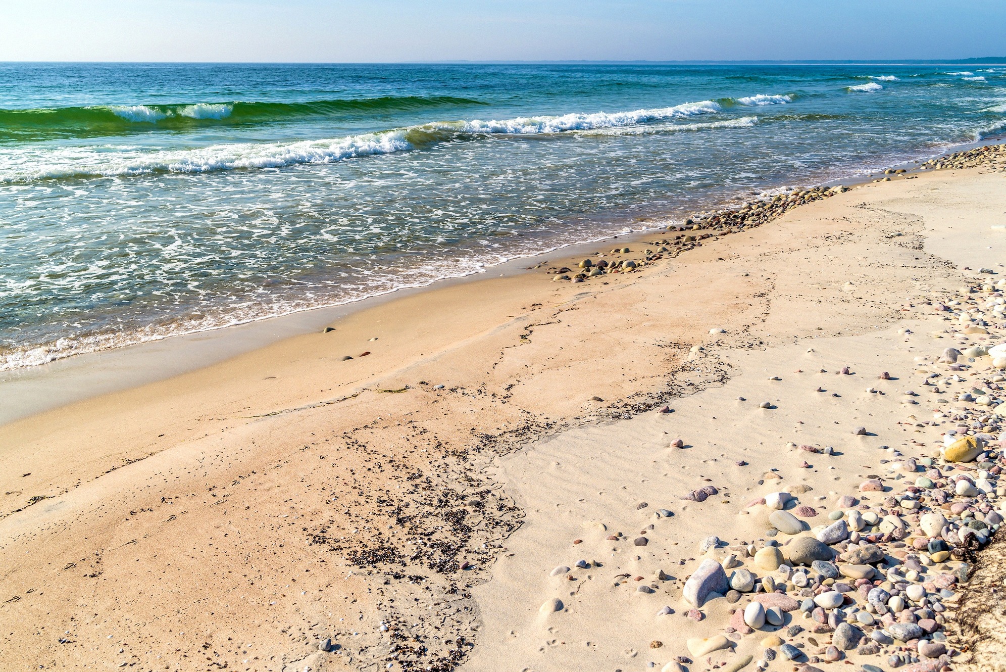
Böda Sand
Öland's longest beach, with a nature reserve and campsite village
Sweden · Your island guide
Discover the Långe Jan lighthouse, old windmills, the Borgholm Castle ruin and the limestone steppe of Stora Alvaret.
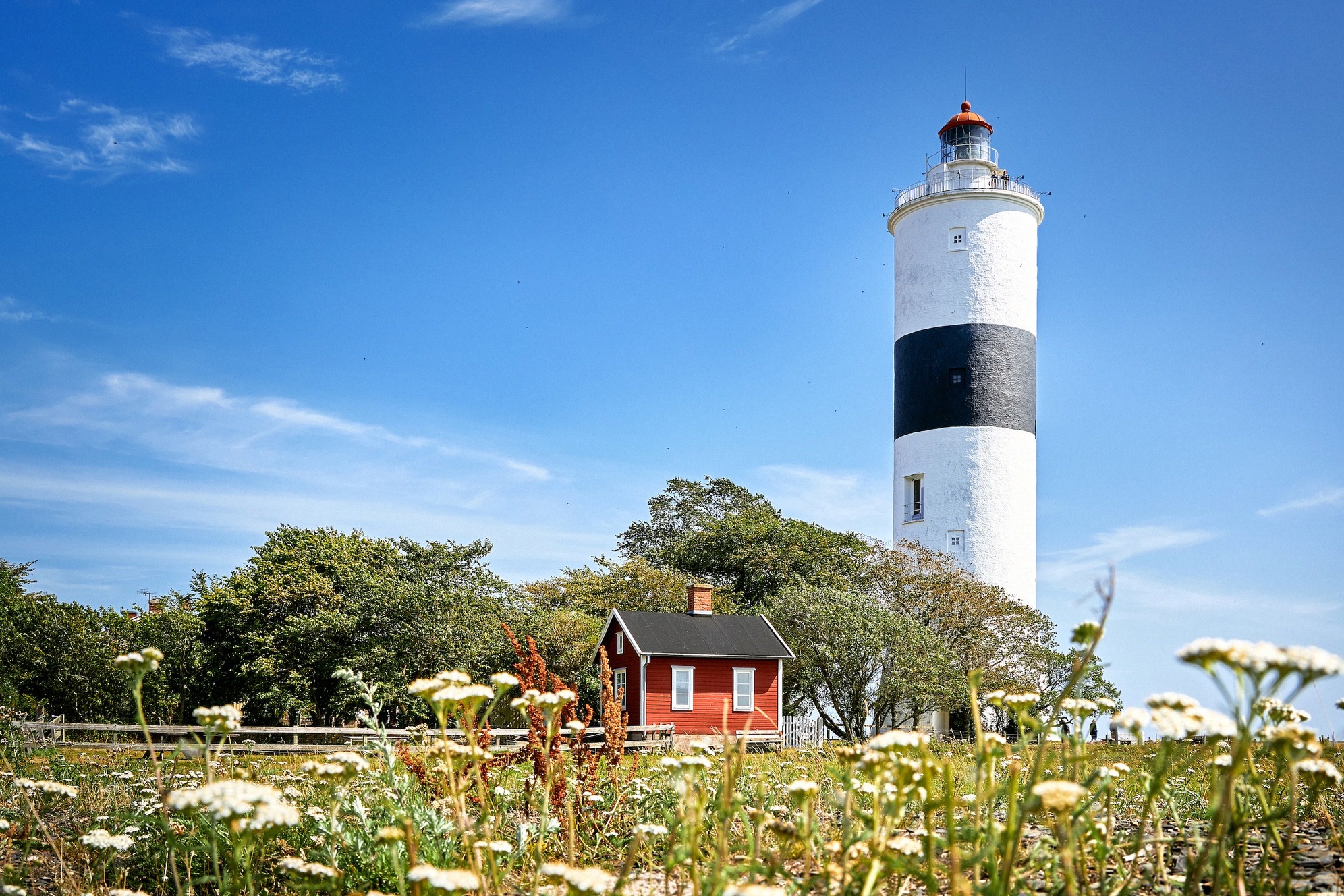
Långe Jan
The island runs a good 130 kilometres from tip to tip, the castles sit centrally on the west coast, the widest sandy beaches lie in the north, and the alvar, the lighthouse and the bird migration are in the south.
The six places people come to the island for.
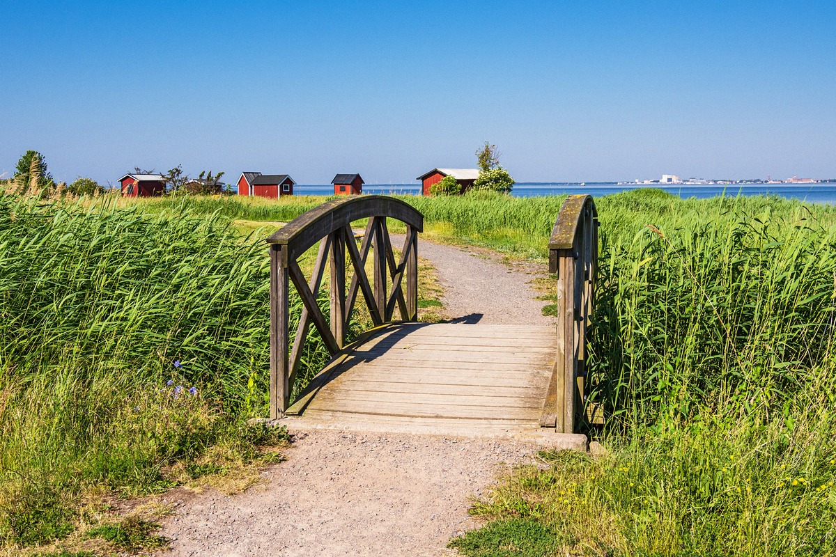
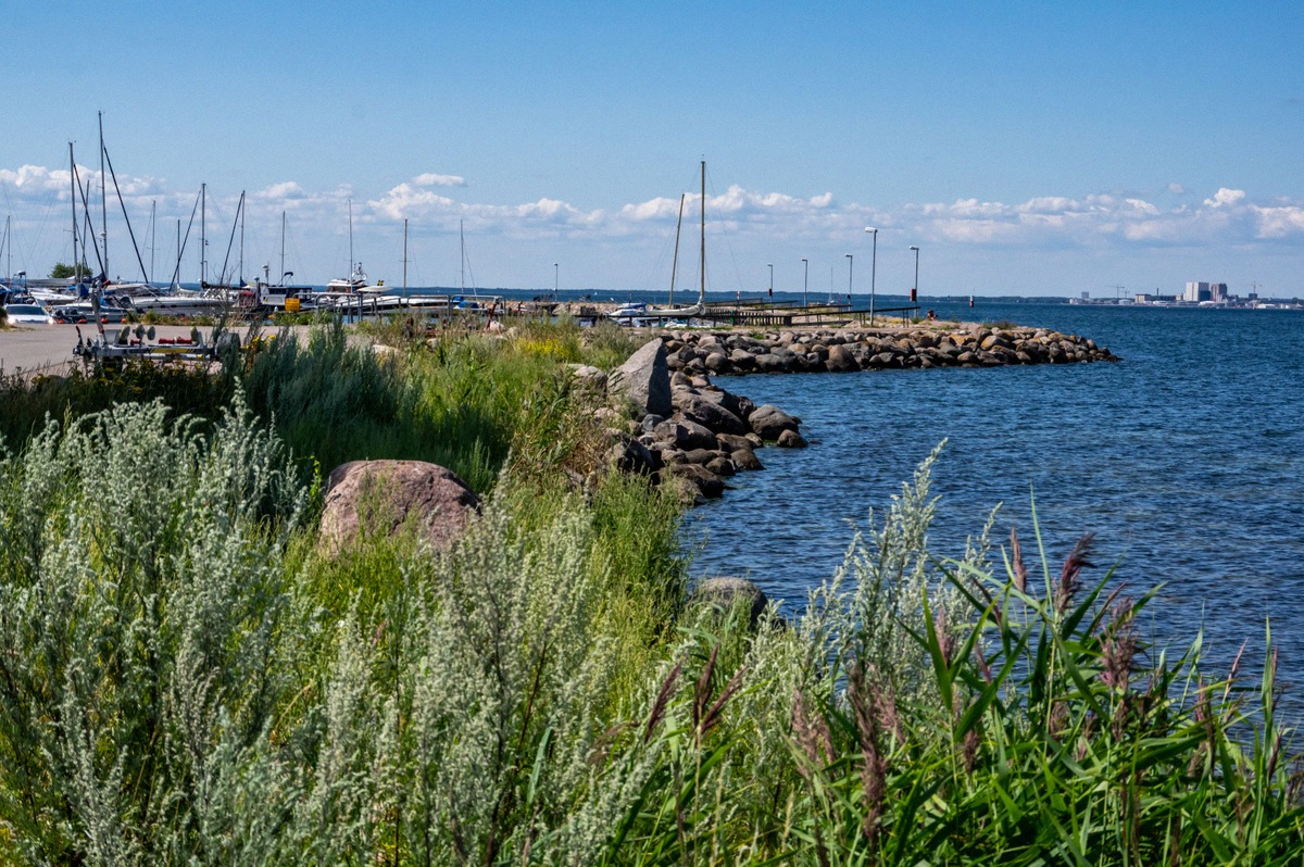
Öland's longest beach, with a nature reserve and campsite village
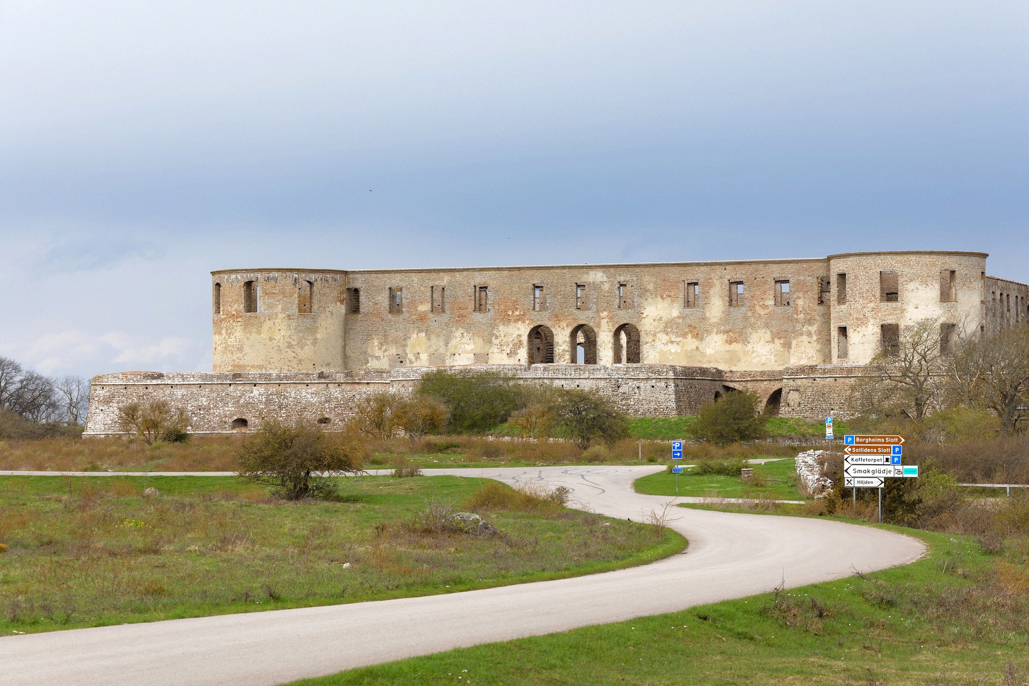
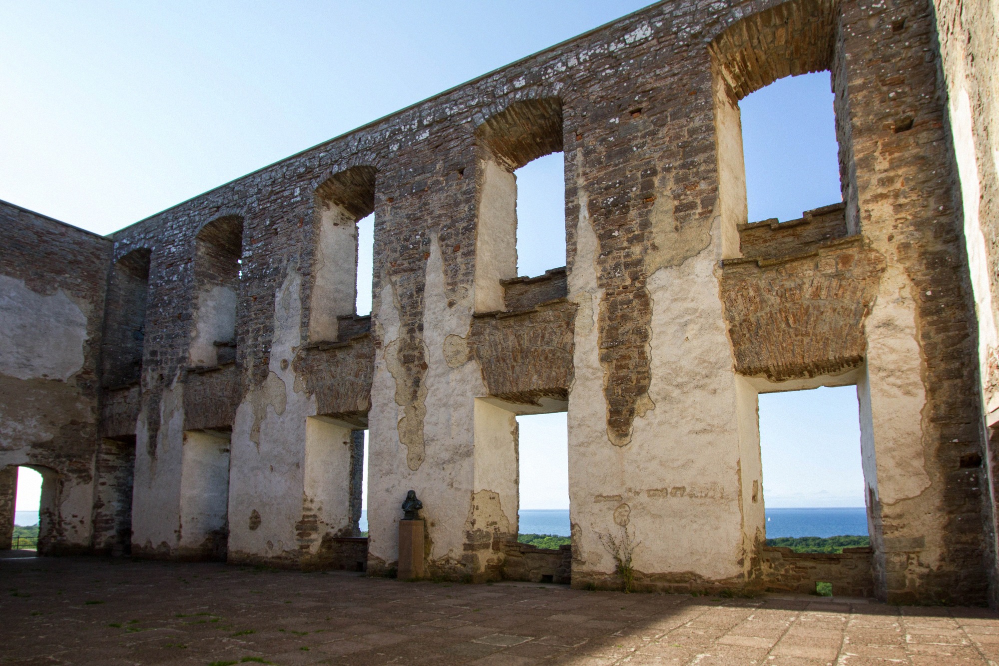
Scandinavia's most impressive castle ruin
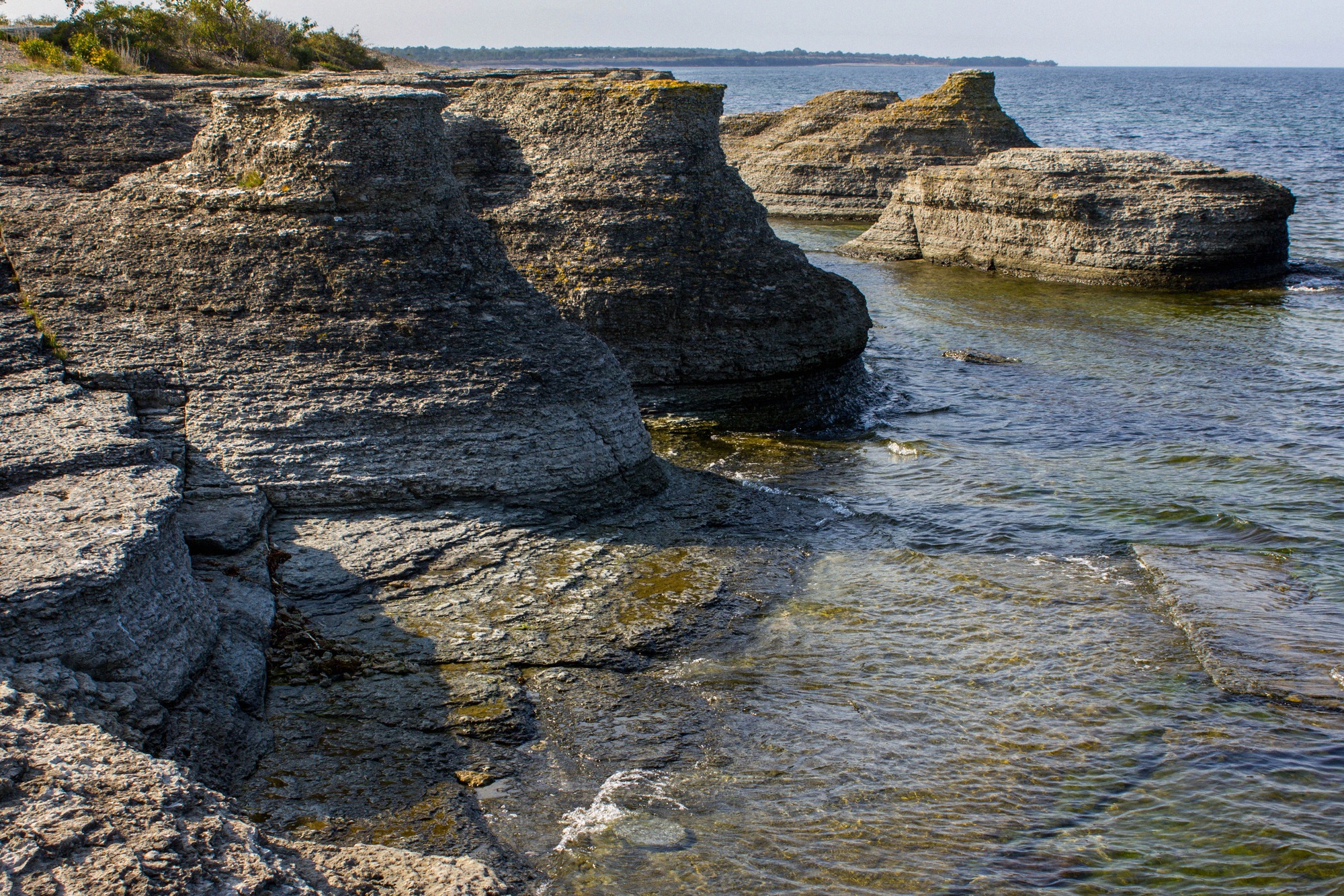
Öland's Limestone Sea Stacks by the Shore
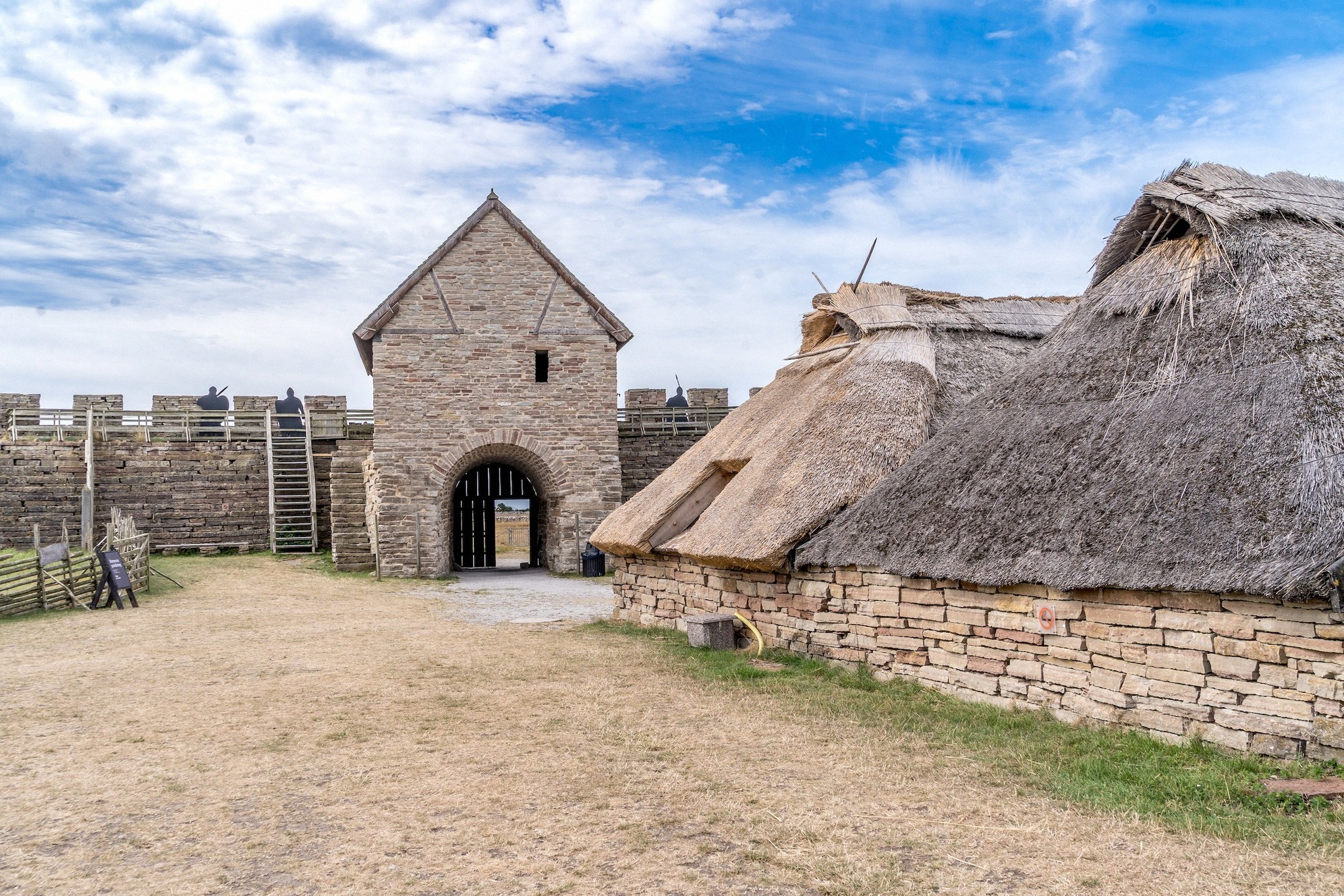
Öland's reconstructed ring fort
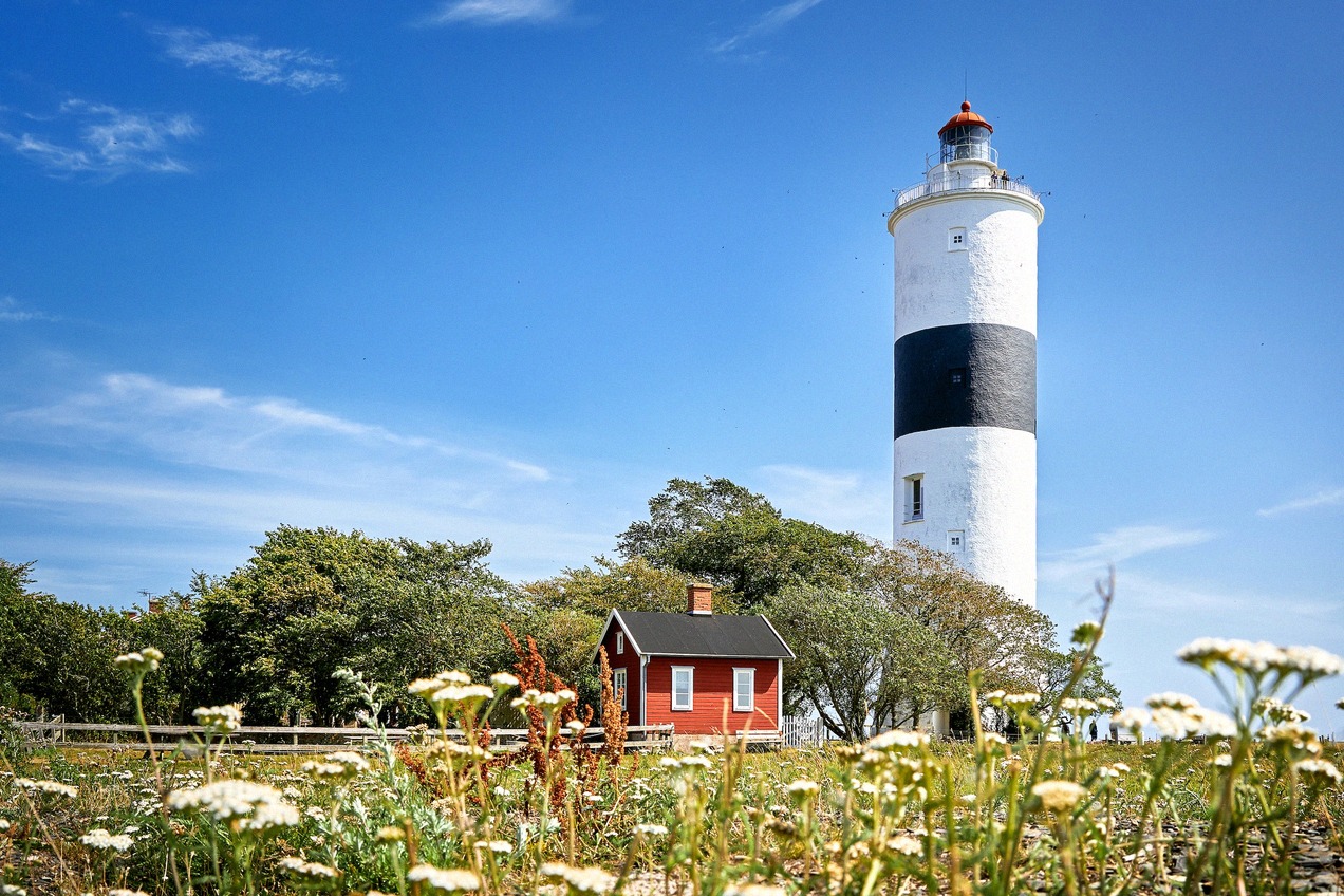
Sweden's tallest lighthouse
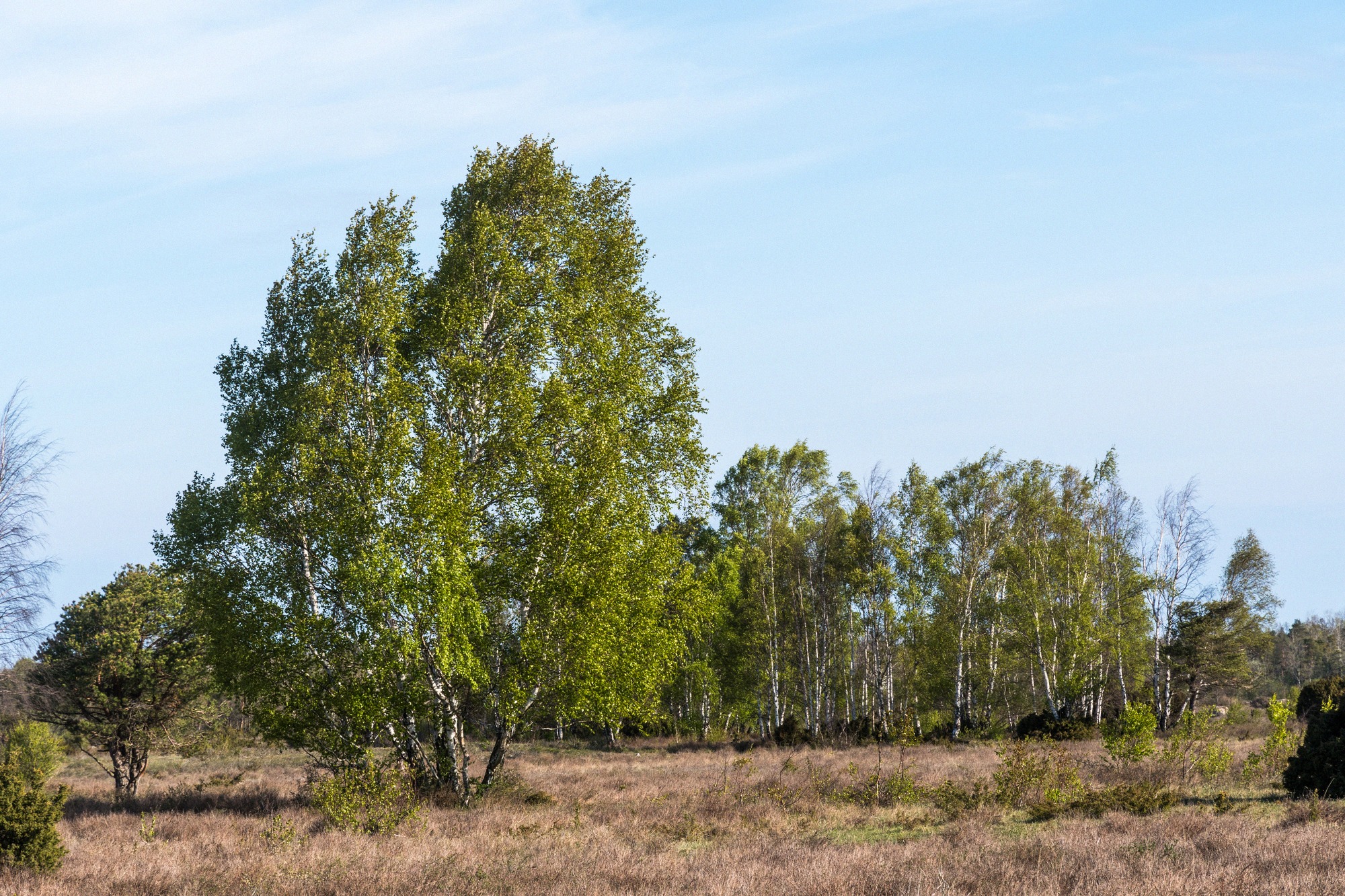
Öland's limestone steppe, a UNESCO World Heritage site
Four places, four roles: from the island's only town and the gateway at the bridge to the fishing village in the north.
What lies where: places, beaches and attractions at a glance.
Attractions
Nature & Views
Museums & Experiences