Borgholm
Island capital with castle and harbour
Overview
The five main places on Öland, from Borgholm to Byxelkrok, what sets each apart, which one works best as a base, and how to get around the long island.
Island capital with castle and harbour
Fishing village and summer harbour in the north
Coastal village at the gateway to the deep south
Gateway to the island and Öland's largest town
Main town at the gateway to the Stora Alvaret
No results found.
Öland has only one proper town, but plenty of characterful places and villages strung out along the narrow island. This overview helps you get your bearings, what each place is known for, where you'll arrive, and how to plan sensibly for the long stretches between north and south.
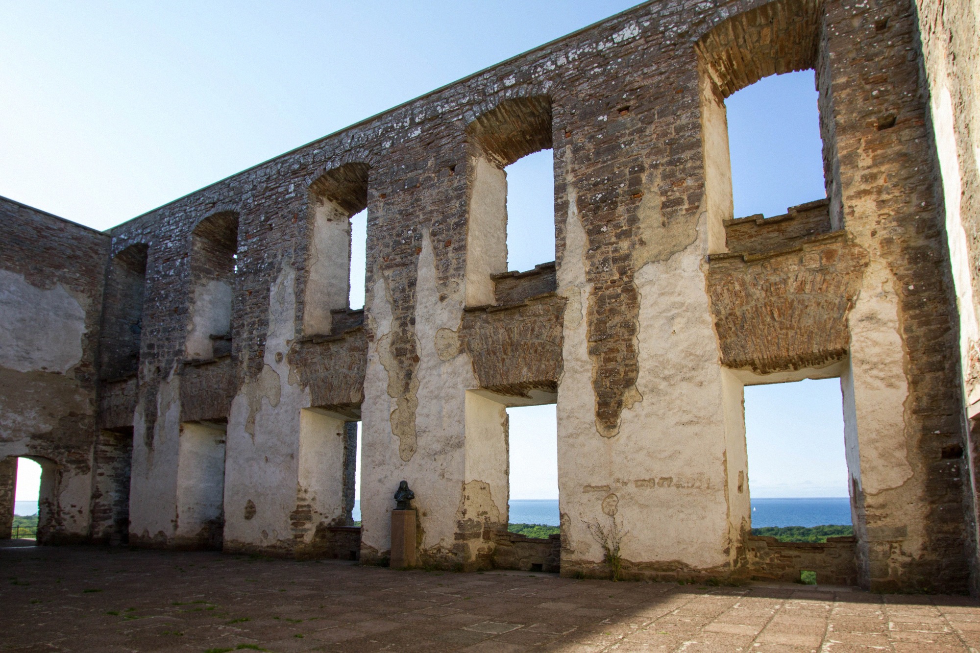
Borgholm on the west coast is Öland's only town (Swedish stad) and its summer hub, with a harbour and seafront promenade. Above the town stands Borgholm Castle, a ruin and one of Scandinavia's best-known castle ruins. It's no longer an inhabited castle, a fire destroyed it in 1806, leaving the bare limestone walls standing. Today the site works as a museum and venue for art exhibitions and summer concerts.
The ruin is open daily in 2026 from 28 March to 1 November, 10:00-18:00 in high summer and 10:00-17:00 in the shoulder months; it's closed only on 13 and 14 July (the Victoria concert) and on 24 September. Adults pay 140 SEK in the low season and 150 SEK in the high season, from 22 June to 8 August; children under 5 go free, payment is card-only, and the app audio guide is included. More at Borgholm Castle and in the place profile Borgholm.
Just a few kilometres south lies Solliden, the summer residence of the Swedish royal family. The residence itself isn't open to visitors, but the extensive palace park opens daily from 7 May to 27 September 2026. Entry is ticketed: adults pay 150 SEK, students 100 SEK, children and teenagers aged 7 to 18 pay 70 SEK, and younger children go free; the ticket covers both park and exhibition. Details at Solliden Palace. Both palaces plus a stroll around town comfortably fill a day.
Färjestaden sits at the eastern bridgehead of the Öland Bridge and, with around 6,000 residents, is the island's largest place. Because the bridge from the mainland lands here, it's known as the "gateway to the island". The name (roughly "ferry town") recalls the earlier Kalmar-Färjestaden ferry crossing, which was the only mainland link before the bridge; the last ferry ran on 30 September 1972, the same year the bridge opened.
The Öland Bridge (Ölandsbron) is six kilometres long, rests on 156 piers and is toll-free, more at the Öland Bridge and in the guide Getting to Öland. Around Färjestaden you'll find a cluster of useful things:
More on the place itself at Färjestaden.
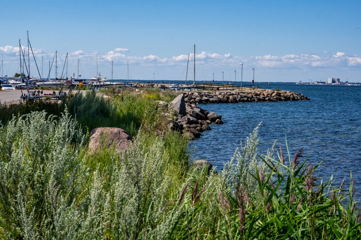
In the south, Mörbylånga is the main place, a köping (market town). The streetscape dates from the late 19th and early 20th centuries, with a market fountain on the torg (square) and several cafés and restaurants. The harbour was once a trading port. For a long time a sugar mill (Sockerbruk) shaped the town; the last production run was in 1991, and most of the buildings were demolished from 1993 onwards.
Mörbylånga is the natural starting point for the UNESCO World Heritage Site "Södra Ölands odlingslandskap", the agricultural landscape of southern Öland, inscribed in 2000. Its centrepiece is Stora Alvaret, the world's largest continuous alvar habitat, free and open to everyone. The alvar is still grazed today, that grazing is essential to its distinctive plants and wildlife. More at Stora Alvaret and in the overview of Öland's nature. Just south of town lies the free-to-visit Gettlinge burial ground. The place profile is at Mörbylånga.
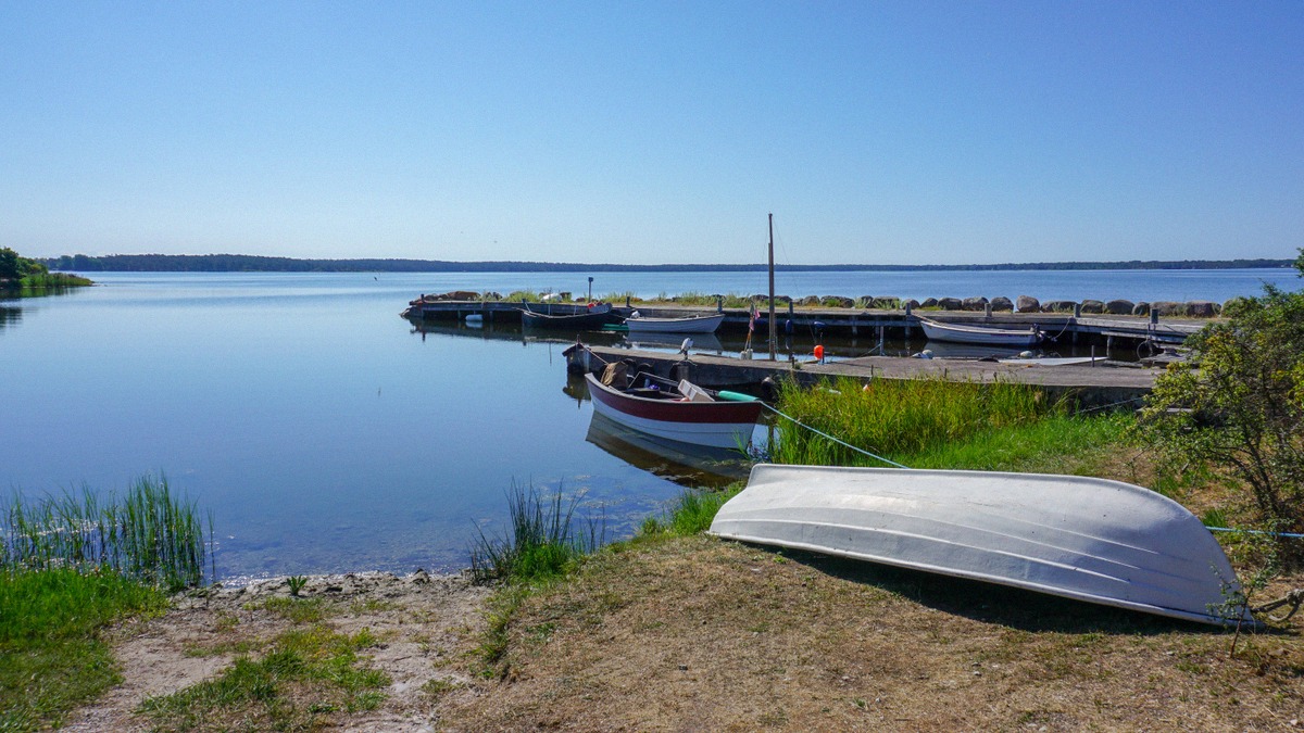
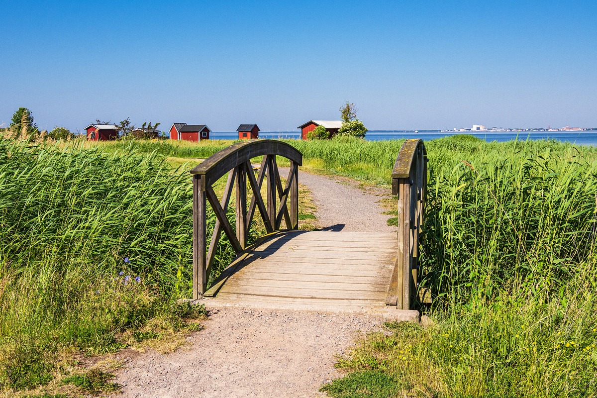
In the north-west, Byxelkrok is a picturesque fishing village with a guest harbour, boathouses (sjöbodar) and a beach. Unlike the rest of the island, it's reachable directly from the mainland in summer: the car and passenger ferry M/S Solsund links Byxelkrok with Oskarshamn, running from 12 June to 31 August in the 2026 season. The village is the starting point for the highlights of the northern tip, the limestone stacks of Byrums raukar, the weathered pine forest of Trollskogen and the Långe Erik lighthouse. The grounds, causeway and walking trails are free year-round; only the summer lighthouse climb costs a small fee. More on the ferry in the guide Ferries to Öland, more on the village at Byxelkrok.
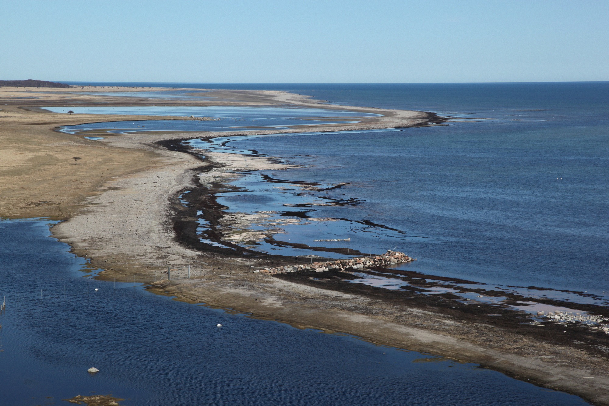
Degerhamn on the south-west coast is one of the last larger places before the southern tip and the practical starting point for the deep south: the Iron Age ring fort Eketorp (150 SEK in summer), the Ottenby nature reserve - Sweden's most important birdwatching site, free to enter, and the Långe Jan lighthouse, at 42 metres the tallest in Sweden, where the summer tower climb costs 50 SEK. More on the place at Degerhamn.
Öland is a narrow, elongated island, and the main road, route 136, runs its length. The north (Böda, Byxelkrok, Sandvik) and the south (Stora Alvaret, Ottenby, Långe Jan, the World Heritage villages) lie far apart, with Borgholm and Solliden roughly in the middle of the north. It's worth planning day trips by direction and choosing a central base such as Borgholm or Färjestaden.
You can also reach the island without a car: bus route 101 runs direct between Borgholm and Kalmar over the bridge, and route 106 connects Färjestaden with Kalmar railway station in around 39 minutes. Most seasonal offerings cluster around summer, June to August, the ferry to Byxelkrok only runs from 12 June to 31 August, and Borgholm Castle keeps its longest opening hours from May to August. For an overview of the top sights, see Öland's attractions.