Map of Öland
Interactive map of Öland with the island's key towns, beaches and attractions in southeast Sweden.
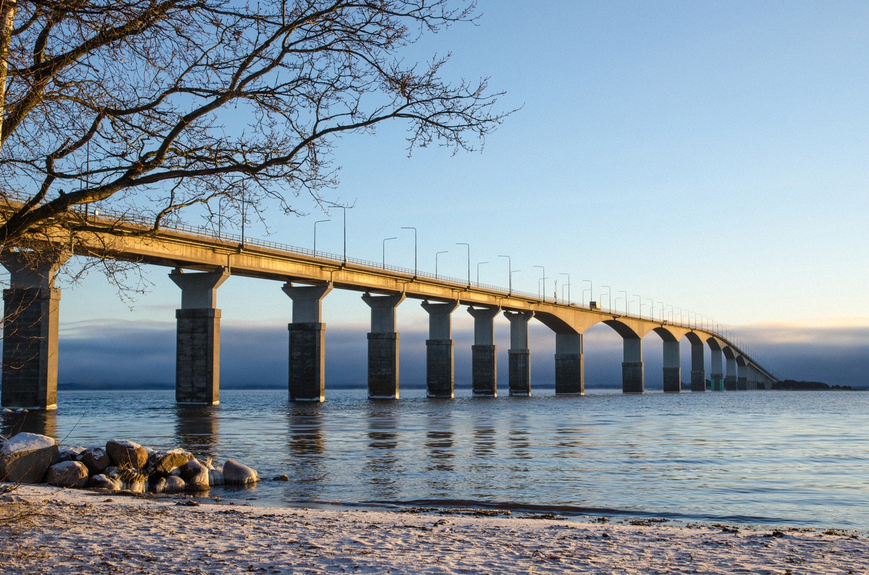
Öland is a long, narrow island off Sweden's southeast coast, reachable from the mainland via the Öland Bridge (Ölandsbron) at Kalmar. It stretches from the northern tip at Trollskogen and Långe Erik down to the southern tip at Långe Jan and Ottenby. This interactive map shows the island's key towns, beaches and attractions.
All places on the map as a list (22)
Attractions
Nature & Views
Museums & Experiences